
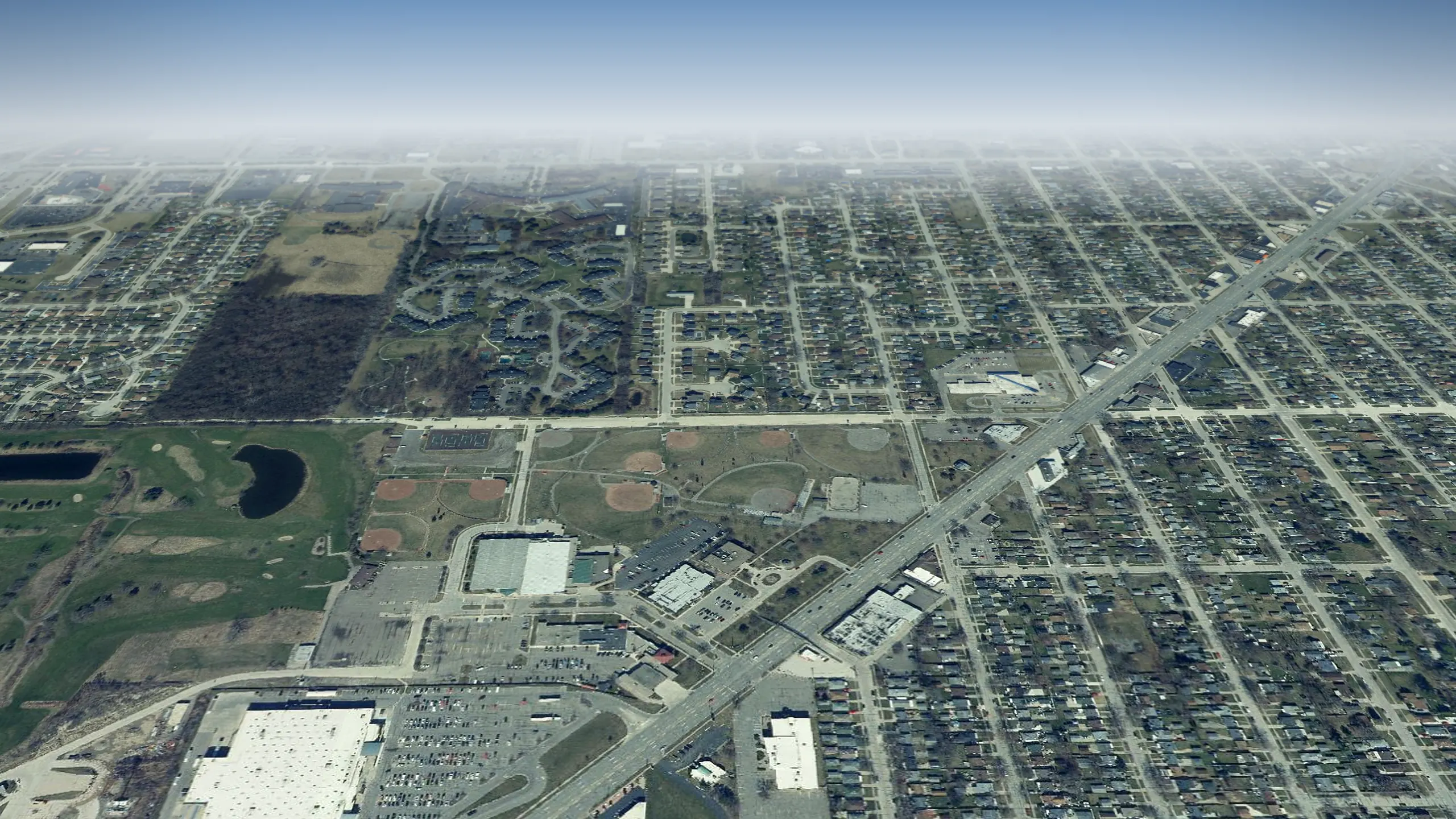
Wayne County, Michigan
Southgate in 3D
Southgate from above: 13,225 homes and every street, roof and park across 6.9 square miles, laid over the state's sharp 2024 aerial photos. Half its homes were standing by 1963. Fly over it, then drop to the sidewalk on your own block.
One tap and the map is yours. Drag to look around, zoom in, tap any home for its record.
Southgate from above, counted
- square miles to fly over
- 6.9
- Land area, U.S. Census Bureau 2025 Gazetteer
- homes under the camera
- 13,225
- Housing units, American Community Survey 2020 to 2024
- the year half its homes were standing by
- 1963
- Median year built, American Community Survey 2020 to 2024
From the air
What to see in Southgate
Tap Fly here and the 3D view opens right over it. Each landmark links to its story on this site.
Parks, water and public places
-
1Park
Auxiliary Police Park
-
2Park
Cobb Memorial Park
-
3Park
Countryview Park
-
4Park
Homer Howard Park
-
5Park
Kennebec Park
-
6Park
Kiwanis Park
-
7Park
Market Center Park
-
8Park
McCann Park
Neighborhoods to fly over
-
1Neighborhood
Sinclair and Dodge Estate
Built up around 1941
-
2Neighborhood
Old Homestead
Built up around 1944
-
3Neighborhood
Dix-Toledo Highway
Built up around 1948
-
4Neighborhood
Burnside
Built up around 1948
-
5Neighborhood
Dix-Northline
Built up around 1948
-
6Neighborhood
Dix Preferred
Built up around 1948
-
7Neighborhood
Southgate Manor
Built up around 1949
-
8Neighborhood
Dix Superior
Built up around 1949
Guided flyovers
Tours that fly through Southgate
Each one plays like a film in the 3D view: the camera flies the route, slows over every stop and tells its story.
- Theaters and stages of Wayne County around Allen Park Center for the Arts in 3D Open Book Theatre to Cinemark Southland Center & XD Nine theaters and stages across Wayne County, from Open Book Theatre to Cinemark Southland Center & XD, the oldest built in 1996.
- Sports in Southgate in 3D Midwest Shooting Center to Park Colony Club Eight places in its sports story across Southgate, from Midwest Shooting Center to Park Colony Club, the oldest built in 1971.
- Parks of Southgate around Ray Torres Lions Park in 3D Maple Park to Waverly Park Nine parks and green places across Southgate, from Maple Park to Waverly Park, the oldest built in 1971.
- Parks of Southgate around Market Center Park in 3D Homer Howard Park to Market Center Park Nine parks and green places across Southgate, from Homer Howard Park to Market Center Park, the oldest built in 1953.
- Parks of Southgate around Southgate Nature Center in 3D Southgate Nature Center to Homer Howard Park Six parks and green places across Southgate, from Southgate Nature Center to Homer Howard Park.
-
 Food in Southgate around Tim Hortons in 3D
Taqueria Los Charros to Market Center Park
Nine places to eat and shop for food across Southgate, from Taqueria Los Charros to Market Center Park, the oldest built in 1990.
Your block
See your street in Southgate from above
- 1Tap Begin exploring. The camera starts over central Southgate.
- 2Type your address in the box at the top. The camera flies to your block.
- 3Tap your house for its card, or switch to Street to stand on the sidewalk.
Signed in, you can tap Watch on any block to hear when homes there sell or pull a permit. Want the whole window? The live 3D map opens full screen.
Keep flying
Next door to Southgate
How far each one is from the middle of Southgate, and which way to fly.
-
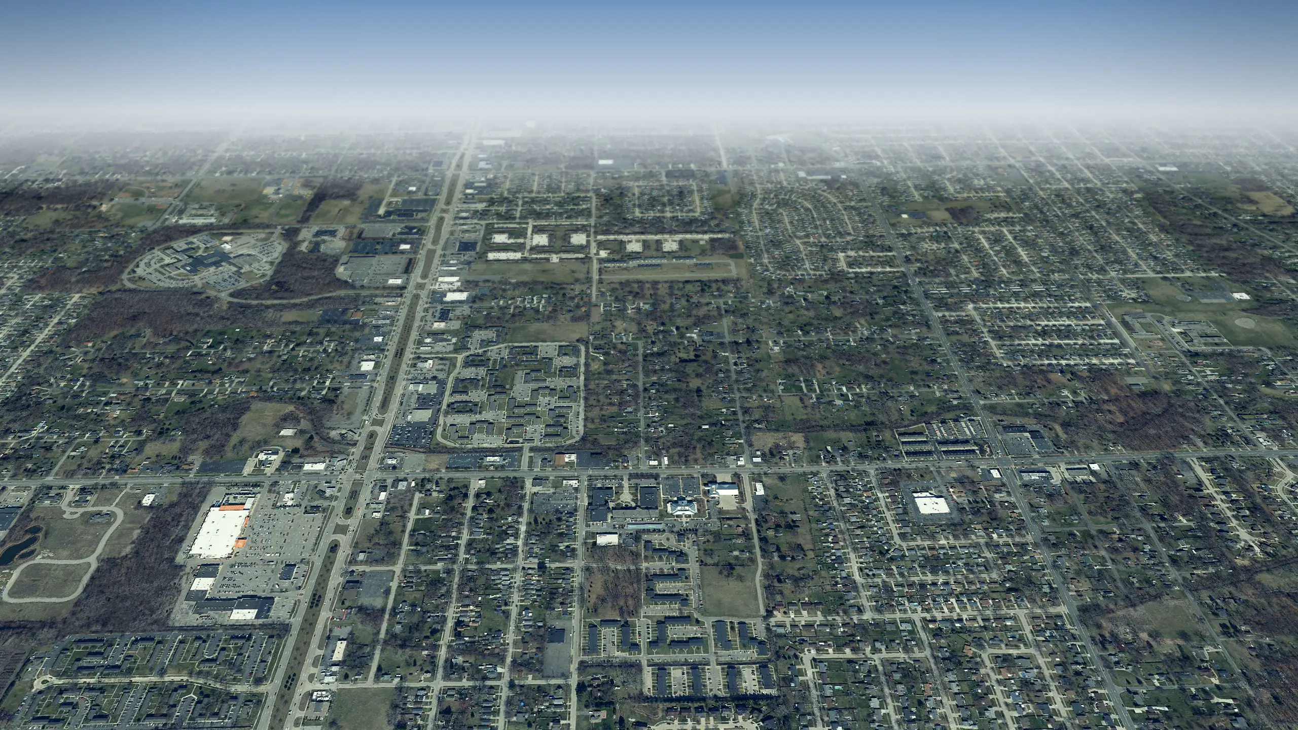 Taylor in 3D
3 miles northwest
-
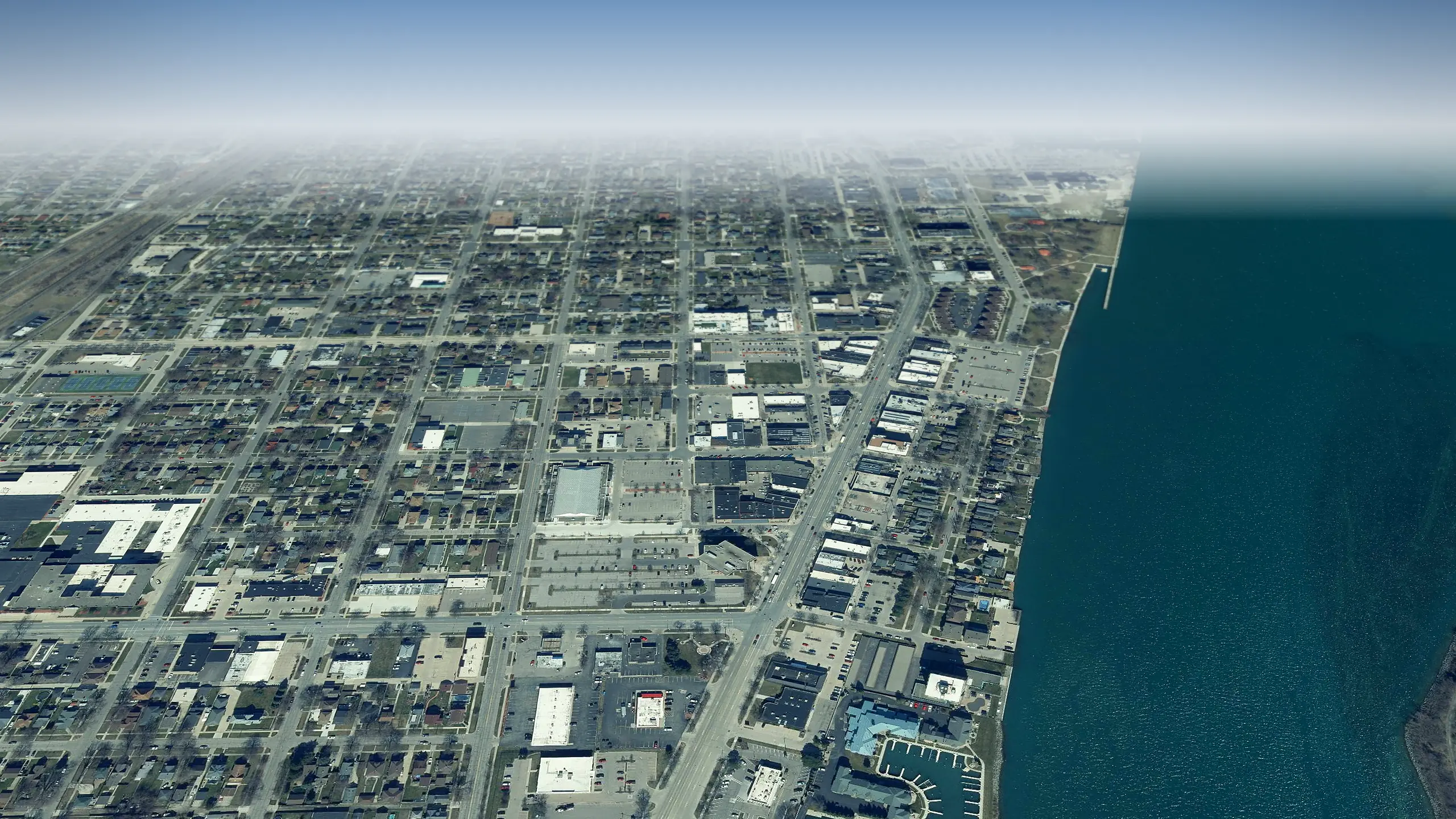 Wyandotte in 3D
3 miles east
-
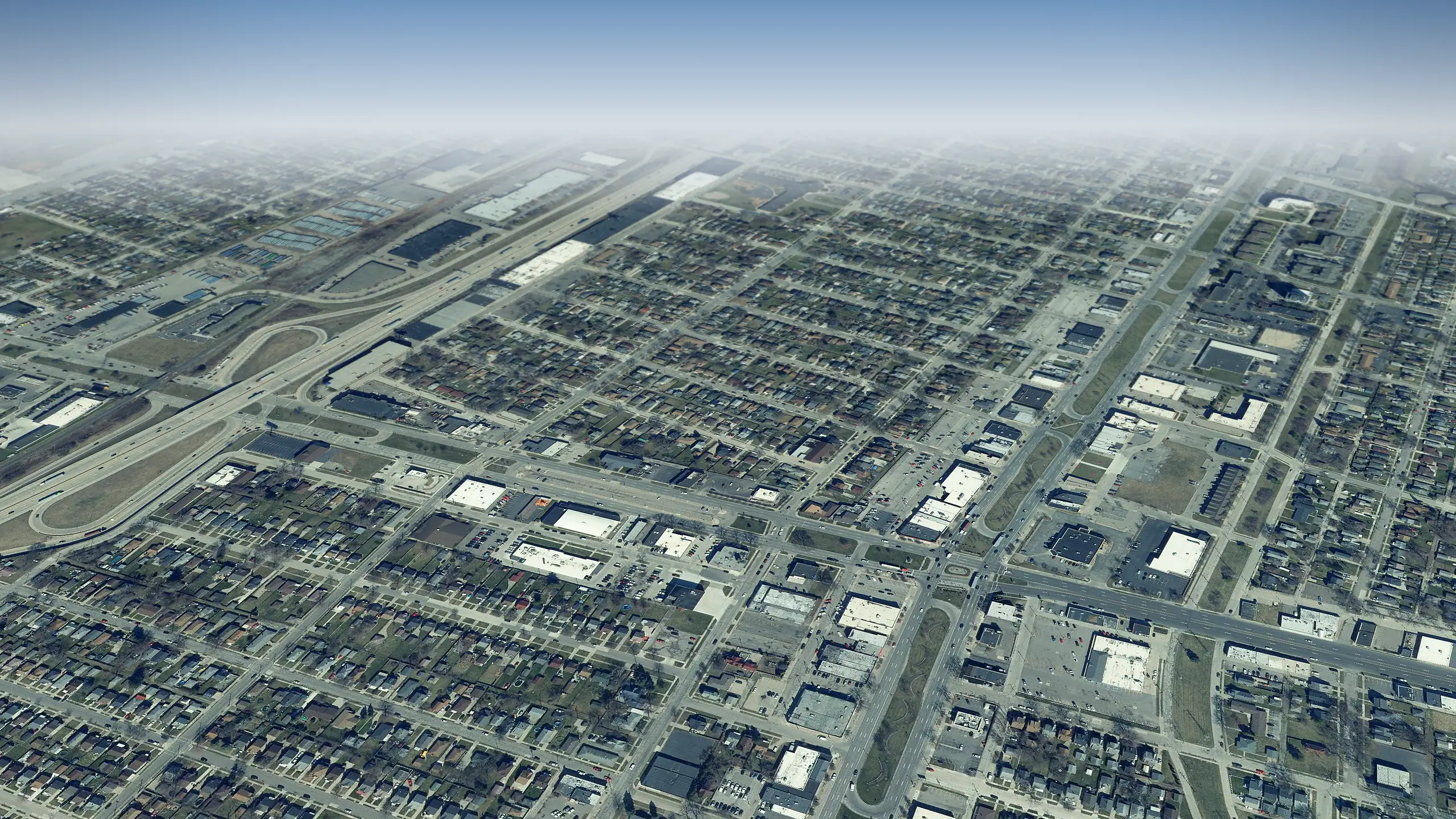 Lincoln Park in 3D
3 miles northeast
-
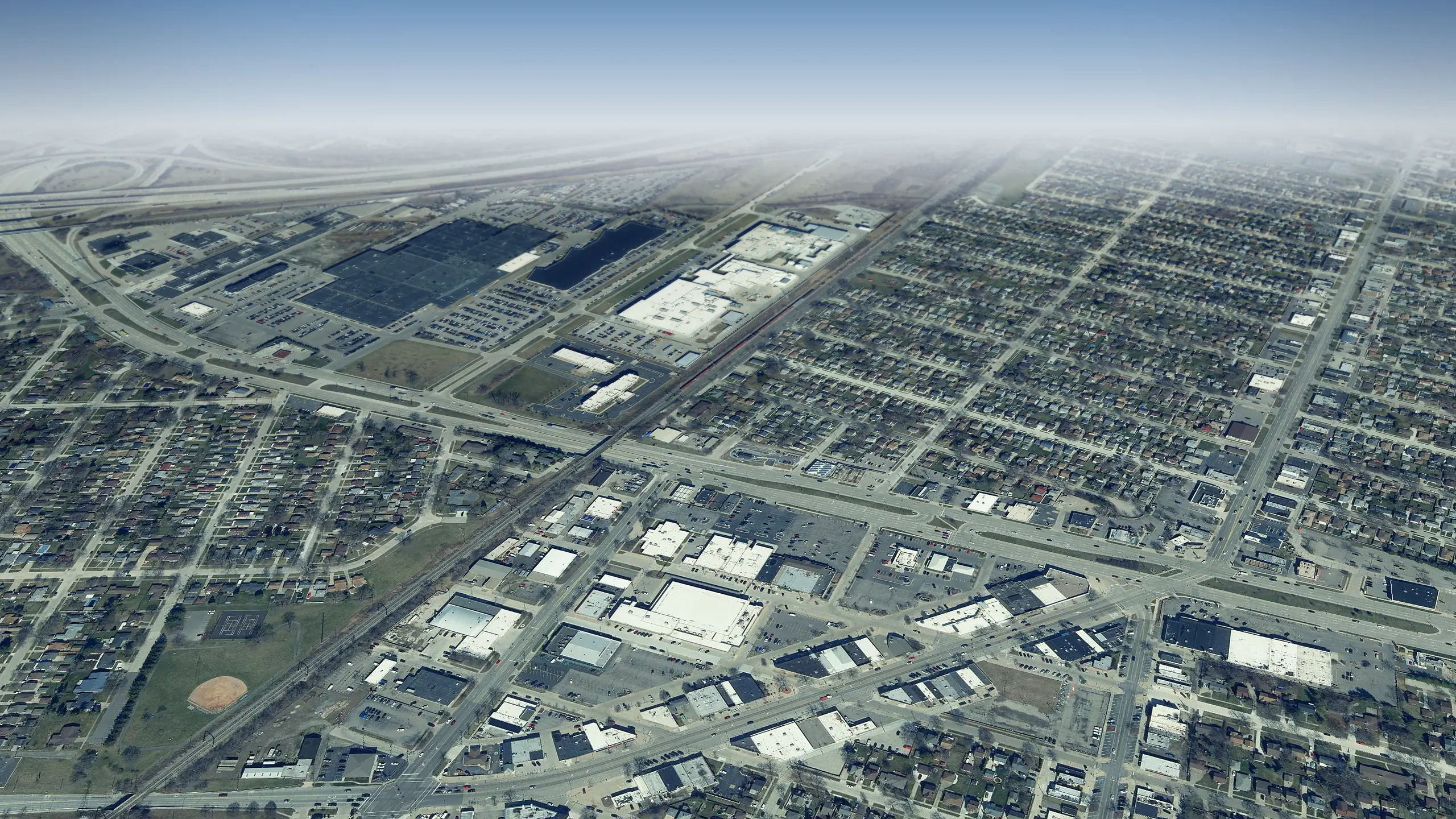 Allen Park in 3D
4 miles north
-
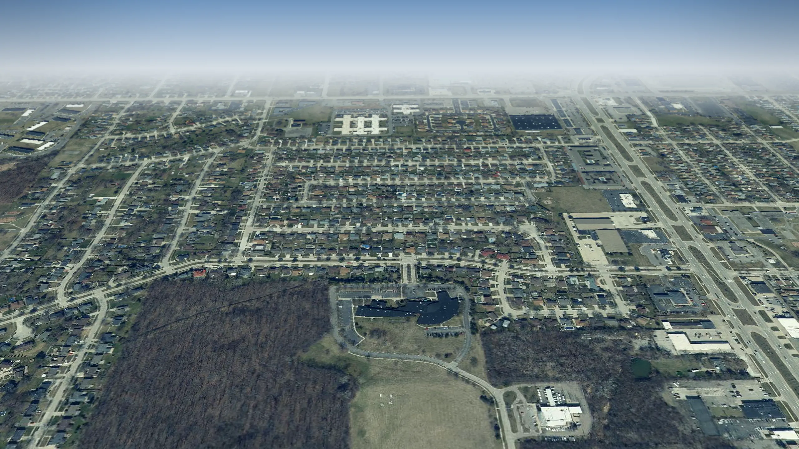 Riverview in 3D
2 miles south
-
 Brownstown Township in 3D
7 miles south
Living in Southgate, the city guide Run comps on a Southgate home
Questions about Southgate in 3D
6 questions
What can I see in Southgate from above?
Where does the 3D view of Southgate start?
Which tours pass through Southgate?
Can I see my own street in 3D?
How current are the aerial photos of Southgate?
Does it work on a phone?
Aerial photos: State of Michigan 2024 orthoimagery and USDA NAIP. Streets, buildings, parks and water: OpenStreetMap contributors and Microsoft building footprints.