
Council district
District 1
- Typical value
- $99K
- Household income
- $39K
- Homeowners
- 52%
Best ranked
- Highest value North Rosedale Park $222K
- Most affordable Melvern Hill $12K
From Airport Sub to Yorkshire Woods, every Detroit neighborhood on one map, with its homes, schools and the pros who work there.
Explore all 209 Detroit neighborhoods across 7 City Council districts and 28 ZIP codes in Wayne County. Pick a district to filter the map, then open any neighborhood for homes for sale, schools and top local pros. Prefer a list? Use the directory below the map. Live elsewhere in Metro Detroit? 134 more towns have their own neighborhoods map.
Typical avg. value is the middle of the 208 neighborhood average home values on their guides.
Jump to: Best and worst Best of each district By district By ZIP code A to Z Home values FAQ Rankings
2026 best: Best overall Safest West side East side Greater Downtown To invest Most affordable
The worst: Worst to live in Most dangerous Avoid buying in
209 neighborhoods
Drag or zoom the map to list only the neighborhoods in view. Boundaries are colored by City Council district, D1 to D7.
Beyond Detroit
134 more towns across the six counties have a neighborhoods map of their own, from the plats and parcel rolls each county records. Pick a county, then a town; the number is how many neighborhoods its map holds.
7 districts, 7 different cities inside one. Typical values are the middle of each district's neighborhood averages; places come from the 2026 Best Detroit Neighborhoods ranking.
Council district
Best ranked
Council district
Best ranked
Council district
Best ranked
Council district
Best ranked
Council district
Best ranked
Council district
Best ranked
Council district
Best ranked
The best lists weigh average home value, nearby schools and homes for sale; the investing list favors a lower price per sq ft. The worst lists weigh Detroit police reports of violent crime per square mile, vacant homes and home values. Every list is the numbers only. How the rankings work.
Now: sunrise, cloudy, 7:39 am Each picture wears the sky over Metro Detroit right now. The numbers under it refresh every 15 minutes.
The worst
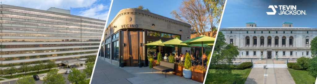
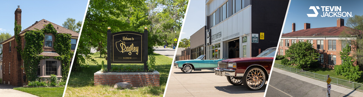
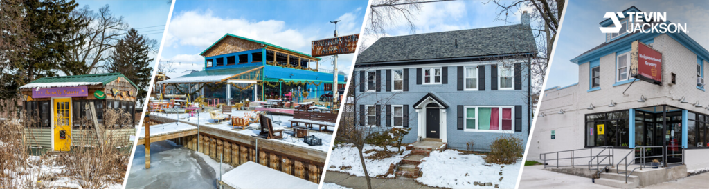
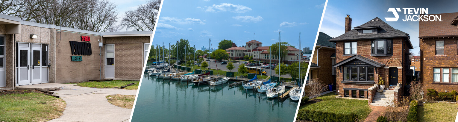
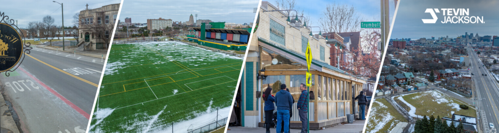
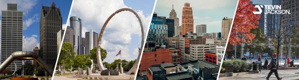
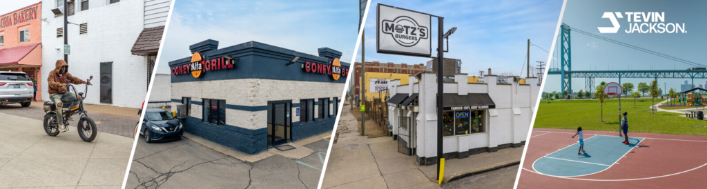
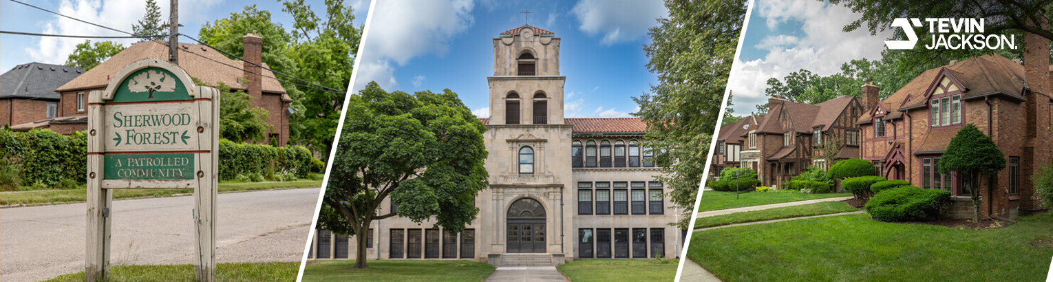
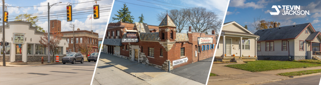
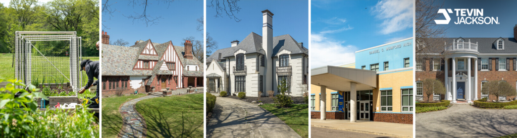
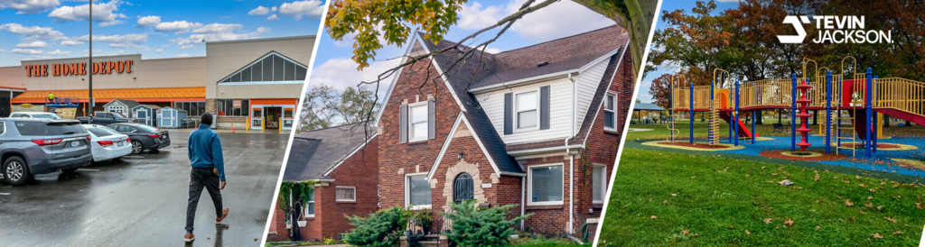
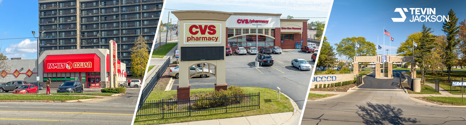


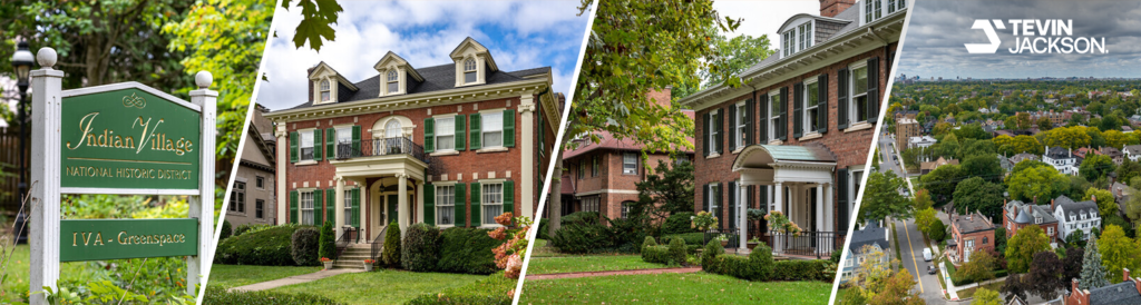
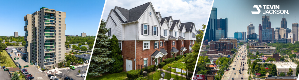
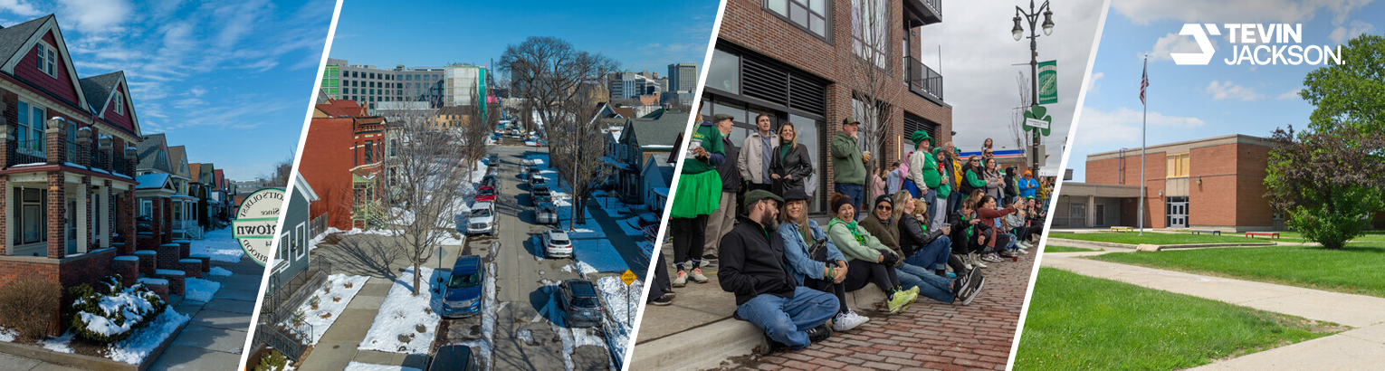
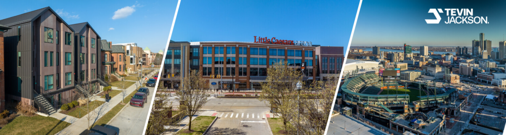

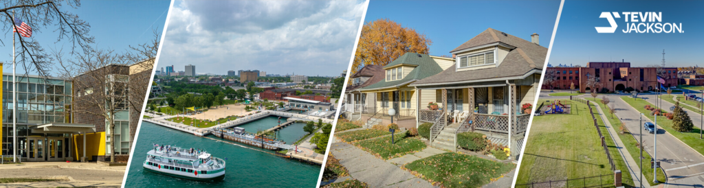


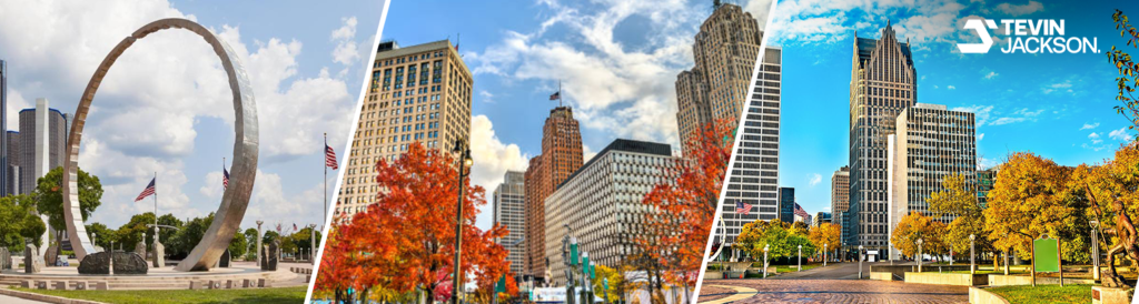

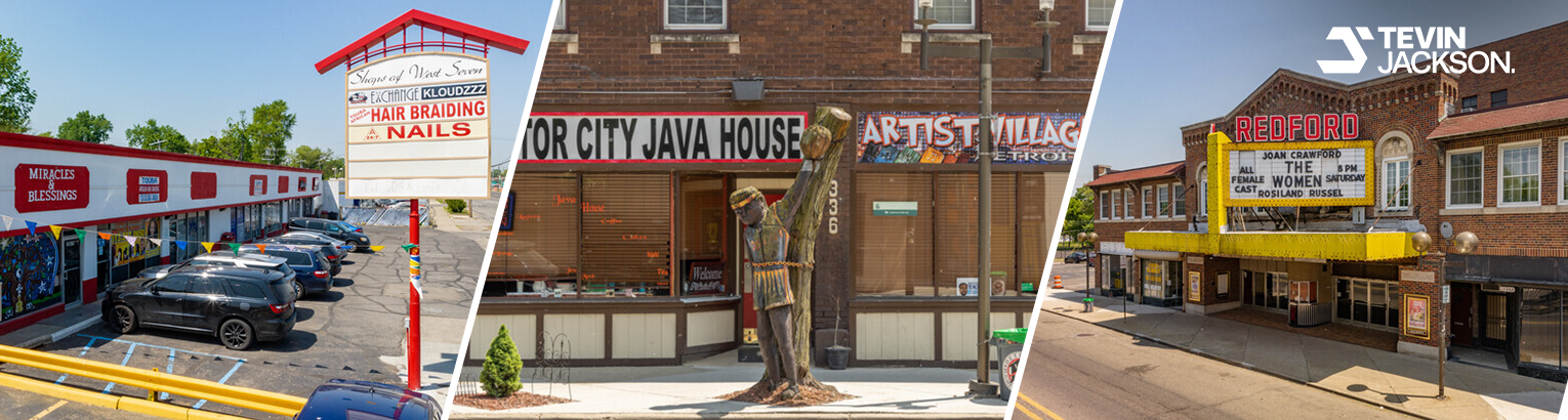
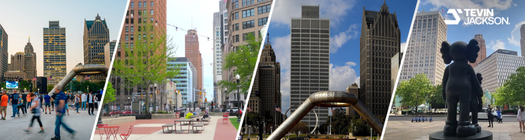

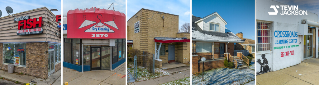
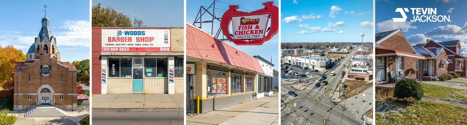
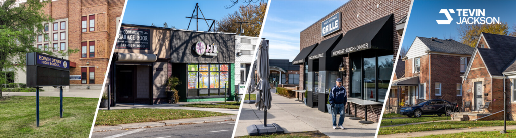

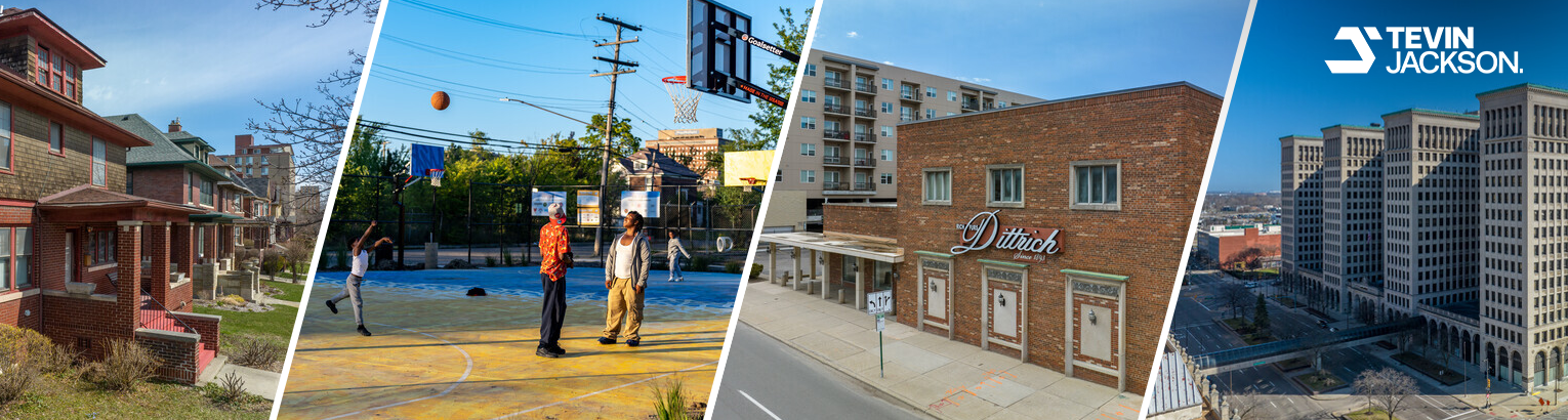


Every neighborhood on the map, grouped three ways. Each link opens a guide with homes for sale, schools, local pros and nearby neighborhoods.
Key: ZIP code · D = City Council district · average home value from Rebuild Detroit neighborhood data.
Average home values as shown on each neighborhood page (Rebuild Detroit neighborhood data). Home value is one factor; also compare homes for sale, commute, schools and services.
134 more towns have their own neighborhood map, listed below. Browse all Metro Detroit cities.
Local business?
One business per category in each neighborhood guide, labelled Sponsored.
See neighborhood sponsorshipEvery recorded subdivision and condominium in 134 towns, 5,576 neighborhoods in all, each with its own map and guides.
Deerfield Township Lapeer 5 Elba Township 13 Hadley Township 7 Imlay City 5 Lapeer 5 Lapeer Township 12 Marathon Township 5 Mayfield Township 20 Metamora Township 11 Oregon Township 21
Brighton 17 Brighton Township 79 Deerfield Township Livingston 6 Fowlerville 6 Hartland Township 36 Howell 18 Oceola Township 32 Tyrone Township 26
Armada 3 Armada Township 3 Bruce Township 14 Center Line 14 Chesterfield 109 Clinton Township 177 Eastpointe 61 Fraser 22 Harrison Township 70 Macomb Township 182 Mount Clemens 33 New Baltimore 27 New Haven 6 Richmond 23 Romeo 6 Roseville 115 ST Clair Shores 172 Shelby Township 76 Sterling Heights 210 Utica 5 Warren 284 Washington Township 70
Addison Township 5 Auburn Hills 23 Berkley 20 Beverly Hills 21 Birmingham 30 Bloomfield Hills 16 Bloomfield Township 119 Brandon Township 11 Clawson 24 Commerce 58 Farmington 16 Farmington Hills 126 Ferndale 38 Franklin 12 Hazel Park 33 Highland Township 34 Holly 12 Huntington Woods 5 Independence Township 88 Keego Harbor 5 Lake Orion 7 Lyon Township 19 Madison Heights 45 Milford 13 Milford Township 10 Novi 64 Oak Park 41 Oakland Township 37 Orchard Lake Village 7 Orion Township 49 Oxford 5 Pleasant Ridge 7 Pontiac 67 Rochester 16 Rochester Hills 106 Rose Township 7 Royal Oak 77 Royal Oak Township 4 South Lyon 12 Southfield 106 Springfield Township 45 Sylvan Lake 4 Troy 153 Walled Lake 7 Waterford 126 West Bloomfield 138 White Lake 58 Wixom 21 Wolverine Lake 14
Algonac 5 Burtchville Township 9 Clay Township 22 Clyde Township 9 East China Township 10 Fort Gratiot 33 Ira Township 7 Kimball 19 Marine City 7 Marysville 11 Port Huron 52 Port Huron Township 31 ST Clair 9 ST Clair Township 6 Yale 4
Allen Park 57 Brownstown Township 41 Canton 118 Dearborn 16 Dearborn Heights 61 Ecorse 25 Flat Rock 3 Garden City 42 Grosse Ile Township 24 Huron Township 16 Inkster 33 Lincoln Park 71 Livonia 162 Melvindale 21 Northville 12 Northville Township 33 Plymouth 20 Plymouth Township 54 Redford 90 River Rouge 23 Riverview 12 Romulus 19 Southgate 45 Taylor 104 Trenton 23 Van Buren Township 28 Wayne 19 Westland 114 Woodhaven 17 Wyandotte 72
7 questions