
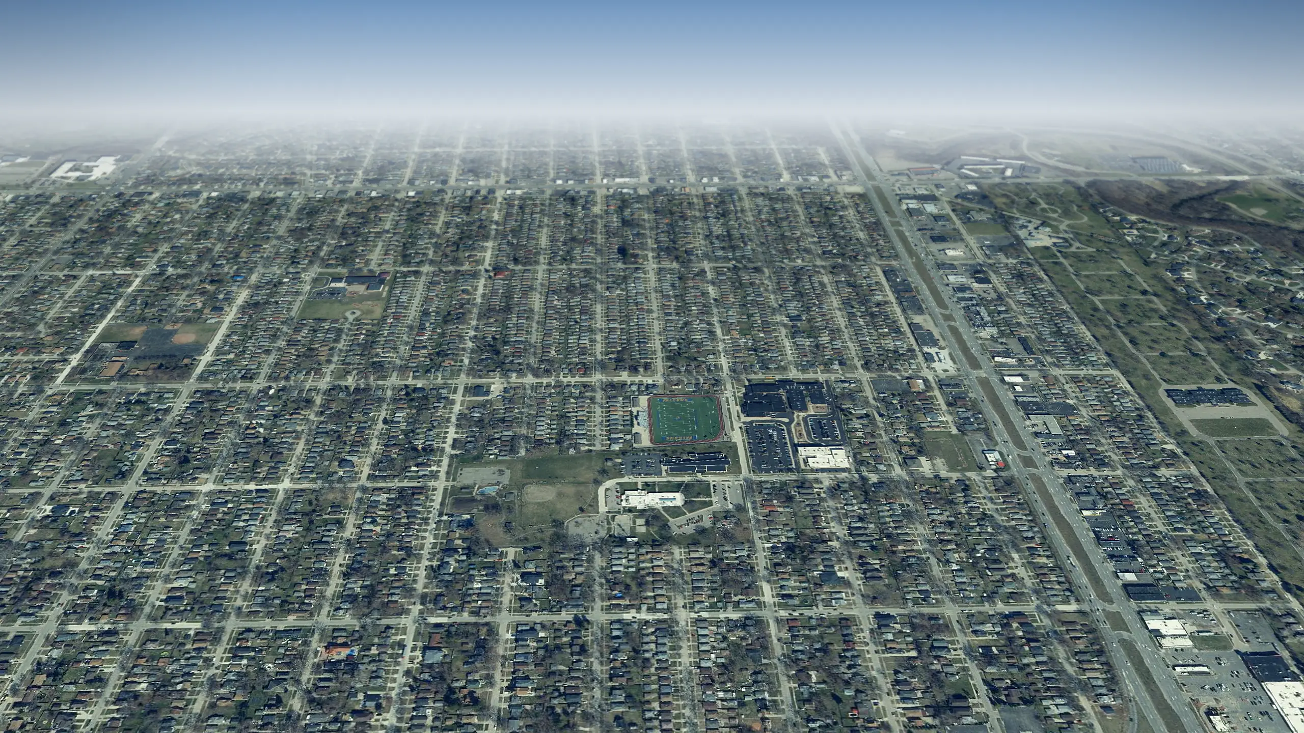
Wayne County, Michigan
Dearborn Heights in 3D
Dearborn Heights from above: 23,808 homes and every street, roof and park across 12 square miles, laid over the state's sharp 2024 aerial photos. Half its homes were standing by 1958. Fly over it, then drop to the sidewalk on your own block.
One tap and the map is yours. Drag to look around, zoom in, tap any home for its record.
Dearborn Heights from above, counted
- square miles to fly over
- 12
- Land area, U.S. Census Bureau 2025 Gazetteer
- homes under the camera
- 23,808
- Housing units, American Community Survey 2020 to 2024
- the year half its homes were standing by
- 1958
- Median year built, American Community Survey 2020 to 2024
From the air
What to see in Dearborn Heights
Tap Fly here and the 3D view opens right over it. Each landmark links to its story on this site.
Parks, water and public places
-
1Park
Boy Scout Shelter Recreation Area
-
2Park
Central Park
-
3Park
Field of Dreams
-
4Park
Helm's Haven Recreation Area
-
5Park
Kinloch Park
-
6Park
Lyle C. Van Houten Park
-
7Park
Nolar Bend Recreation Area
-
8Park
Parkland Recreation Area
Neighborhoods to fly over
-
1Neighborhood
Sylvia Lanes
Built up around 1916
-
2Neighborhood
Greater Detroit New City Park
Built up around 1918
-
3Neighborhood
Pinow
Built up around 1928
-
4Neighborhood
Golden Acres
Built up around 1946
-
5Neighborhood
Ridgeway Farms
Built up around 1947
-
6Neighborhood
Greater Detroit Fordson Highway
Built up around 1950
-
7Neighborhood
Comeford's Ford Road
Built up around 1951
-
8Neighborhood
Fogle Military Park
Built up around 1951
Guided flyovers
Tours that fly through Dearborn Heights
Each one plays like a film in the 3D view: the camera flies the route, slows over every stop and tells its story.
-
 Sports in Dearborn Heights in 3D
Dearborn Hills to HYPE Recreation Center
Four places in its sports story across Dearborn Heights, from Dearborn Hills to HYPE Recreation Center.
- Parks of Dearborn Heights around Levagood Park in 3D Levagood Park to Dearborn High Park Nine parks and green places across Dearborn Heights, from Levagood Park to Dearborn High Park.
- Parks of Dearborn Heights around Arcola Park in 3D Kinloch Park to Perrin Recreation Area Nine parks and green places across Dearborn Heights, from Kinloch Park to Perrin Recreation Area.
- Parks of Dearborn Heights around Vandenburg Park in 3D Joe Prance Recreation Area to Wallaceville Soccer Fields Nine parks and green places across Dearborn Heights, from Joe Prance Recreation Area to Wallaceville Soccer Fields.
- Parks of Dearborn Heights around Parkland Recreation Area in 3D Levagood Park to Helm's Haven Recreation Area Nine parks and green places across Dearborn Heights, from Levagood Park to Helm's Haven Recreation Area.
- Parks of Dearborn Heights around Central Park in 3D Warrendale Recreation Area to Rosalie-Hubbard Park Nine parks and green places across Dearborn Heights, from Warrendale Recreation Area to Rosalie-Hubbard Park.
Your block
See your street in Dearborn Heights from above
- 1Tap Begin exploring. The camera starts over central Dearborn Heights.
- 2Type your address in the box at the top. The camera flies to your block.
- 3Tap your house for its card, or switch to Street to stand on the sidewalk.
Signed in, you can tap Watch on any block to hear when homes there sell or pull a permit. Want the whole window? The live 3D map opens full screen.
Keep flying
Next door to Dearborn Heights
How far each one is from the middle of Dearborn Heights, and which way to fly.
-
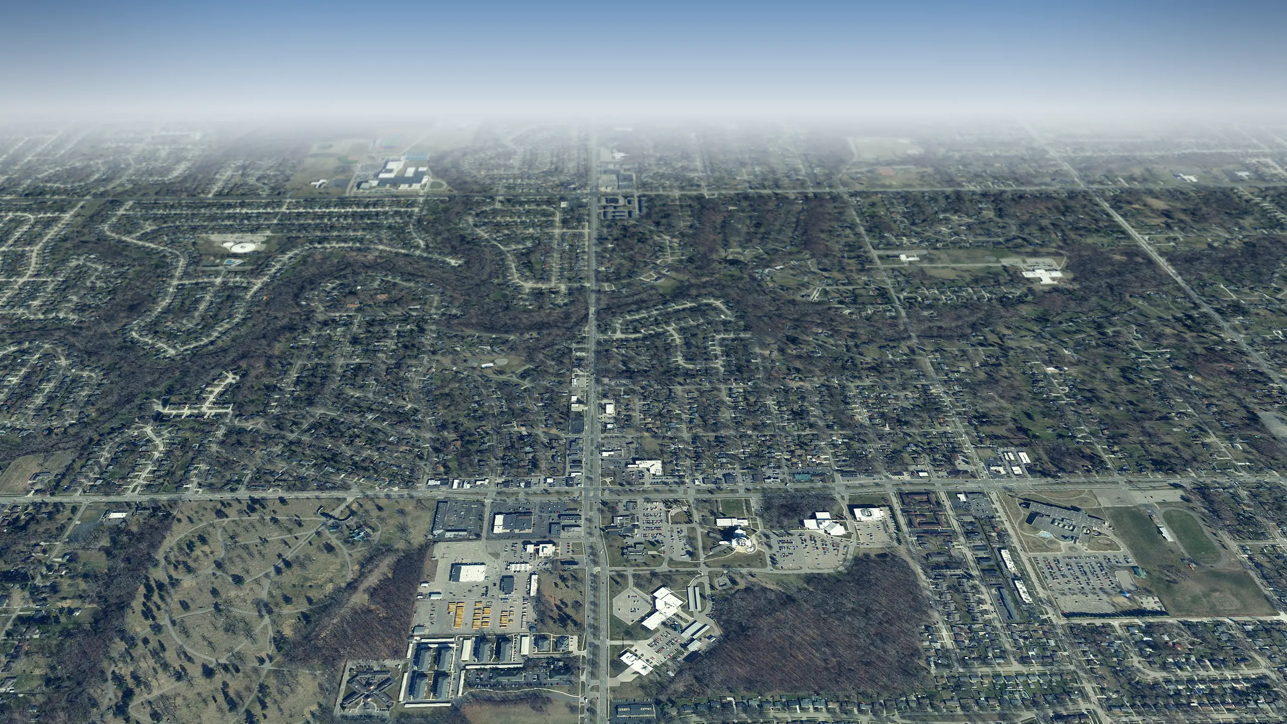 Livonia in 3D
6 miles northwest
-
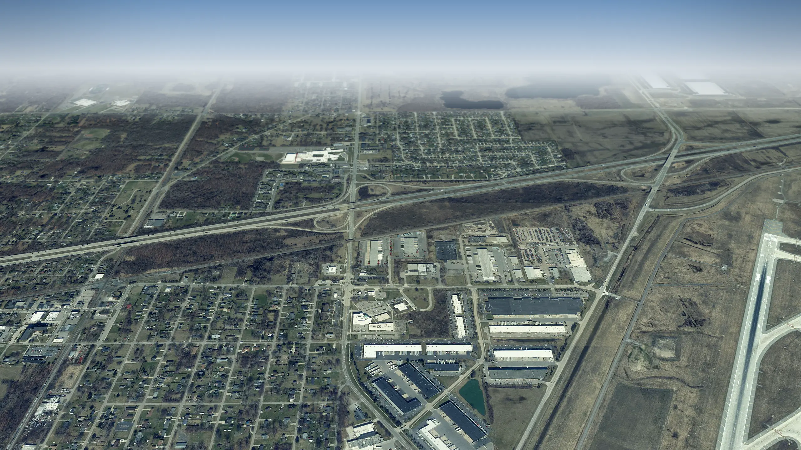 Romulus in 3D
9 miles southwest
-
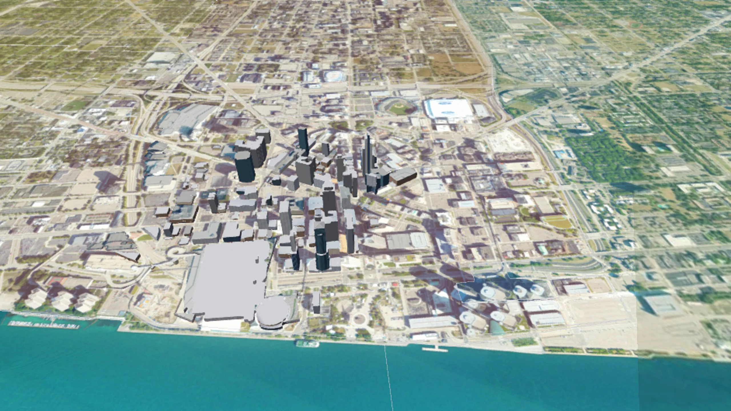 Detroit in 3D
10 miles east
-
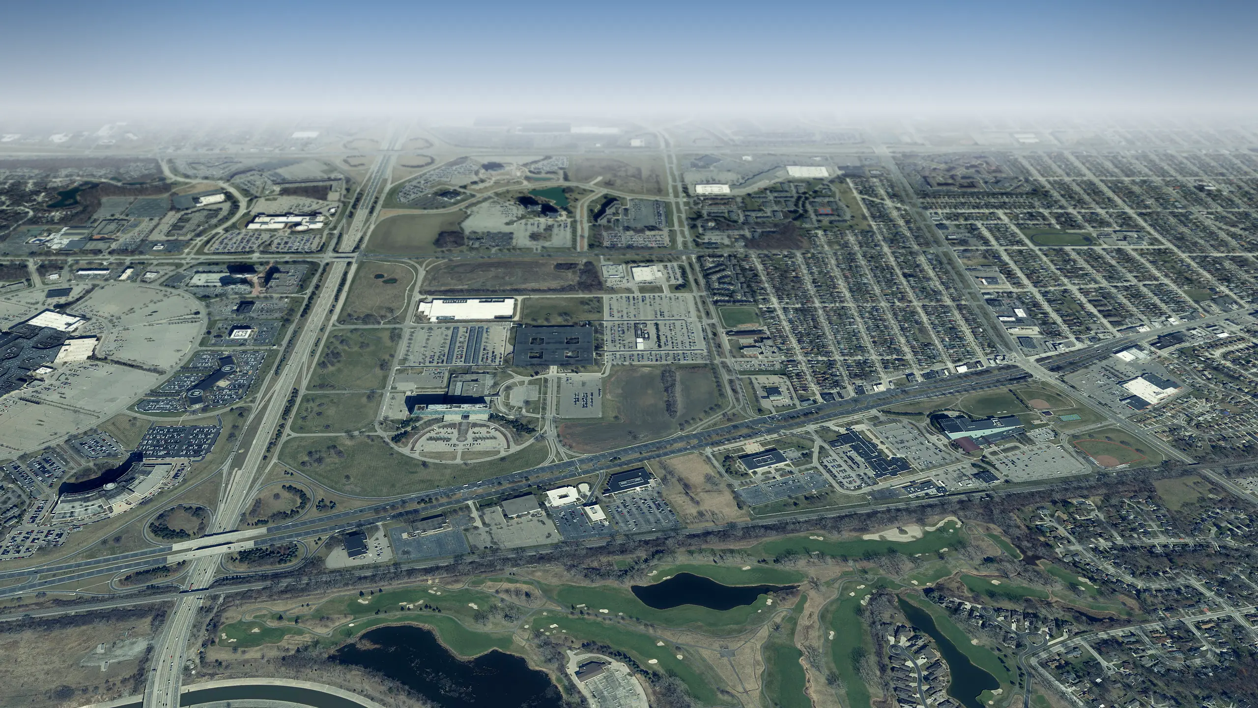 Dearborn in 3D
4 miles east
-
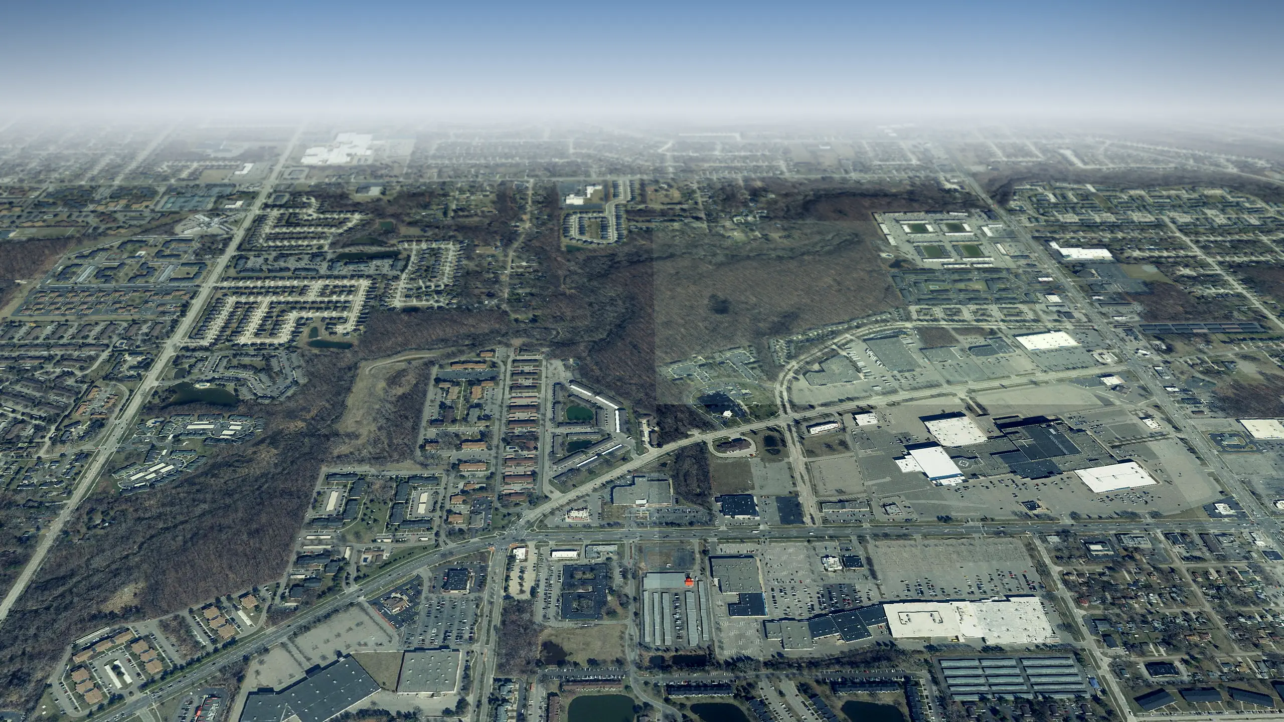 Westland in 3D
5 miles west
-
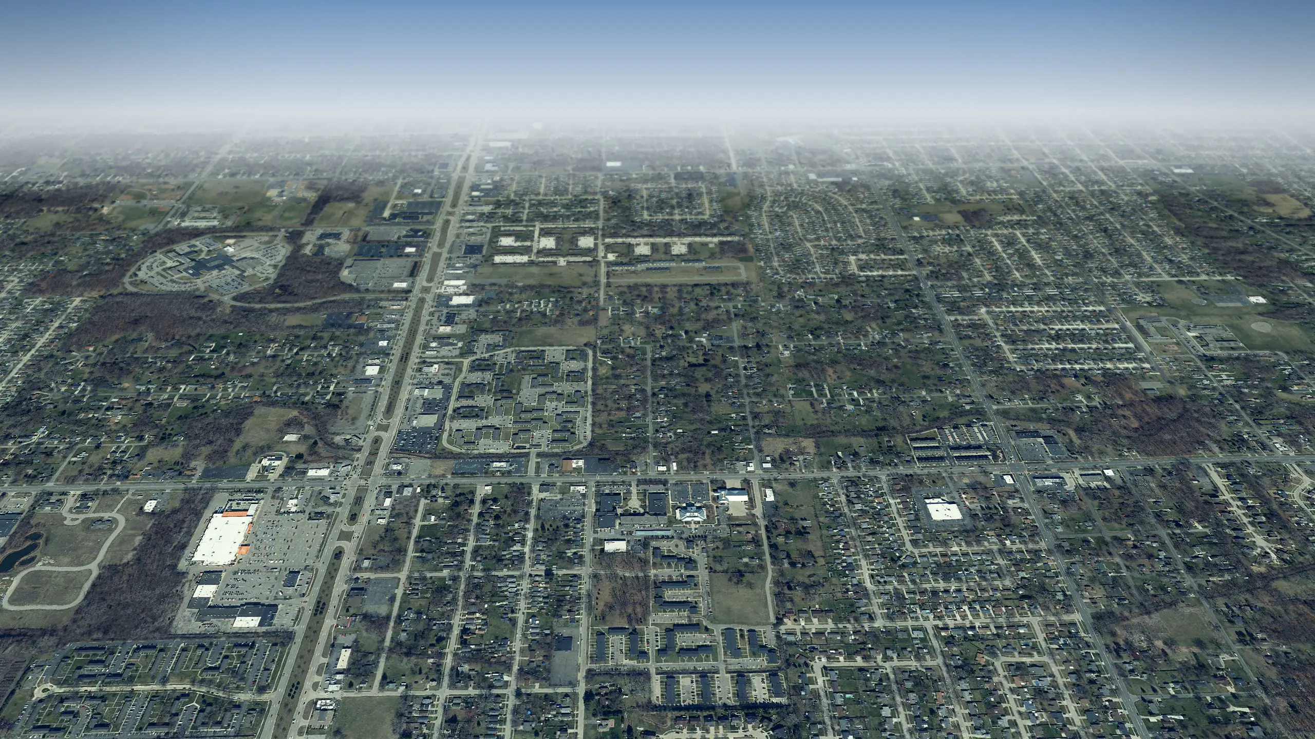 Taylor in 3D
8 miles south
Living in Dearborn Heights, the city guide Run comps on a Dearborn Heights home
Questions about Dearborn Heights in 3D
6 questions
What can I see in Dearborn Heights from above?
Where does the 3D view of Dearborn Heights start?
Which tours pass through Dearborn Heights?
Can I see my own street in 3D?
How current are the aerial photos of Dearborn Heights?
Does it work on a phone?
Aerial photos: State of Michigan 2024 orthoimagery and USDA NAIP. Streets, buildings, parks and water: OpenStreetMap contributors and Microsoft building footprints.