
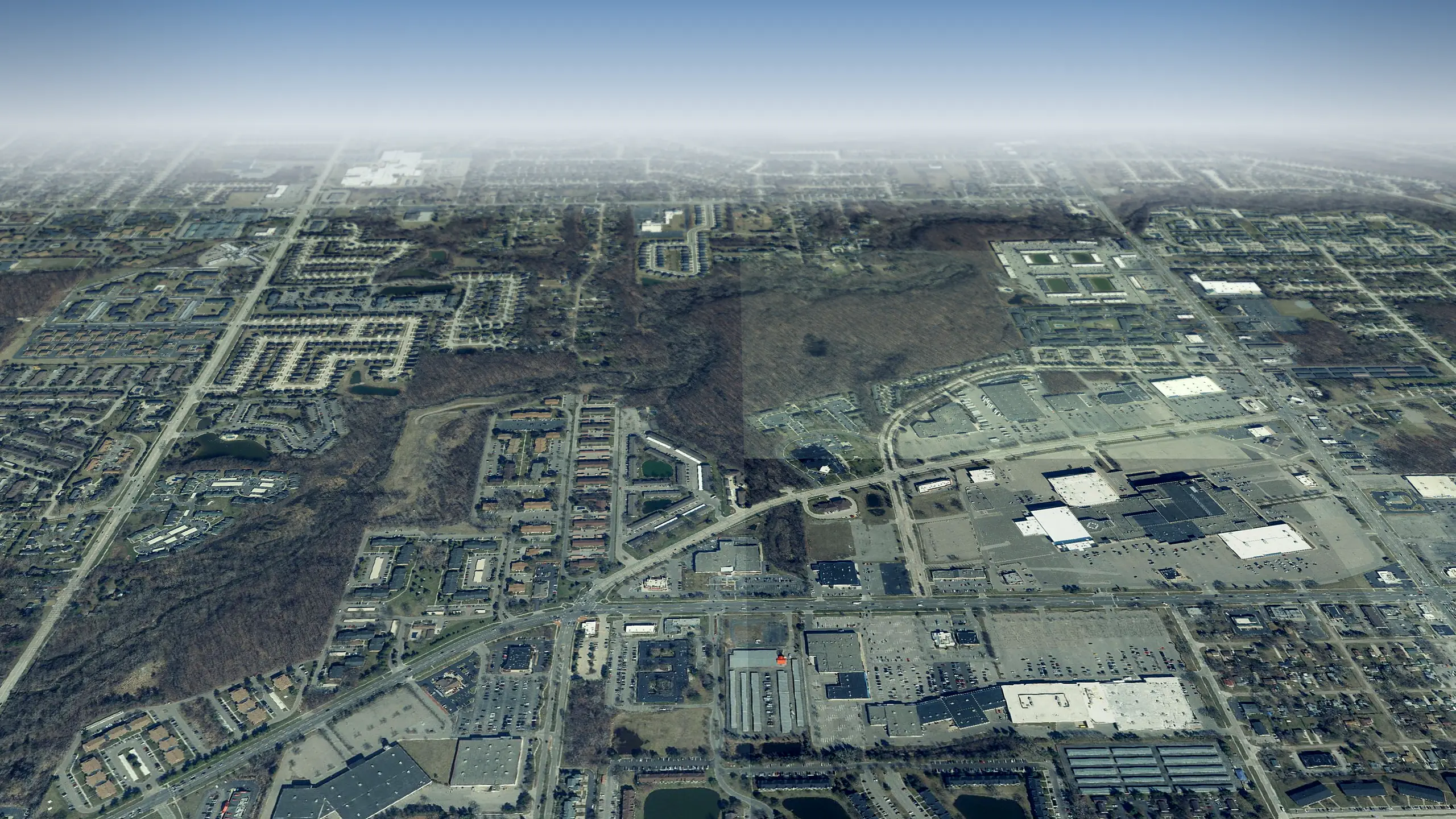
Wayne County, Michigan
Westland in 3D
Westland from above: 38,299 homes and every street, roof and park across 20 square miles, laid over the state's sharp 2024 aerial photos. Half its homes were standing by 1969. Fly over it, then drop to the sidewalk on your own block.
One tap and the map is yours. Drag to look around, zoom in, tap any home for its record.
Westland from above, counted
- square miles to fly over
- 20
- Land area, U.S. Census Bureau 2025 Gazetteer
- homes under the camera
- 38,299
- Housing units, American Community Survey 2020 to 2024
- the year half its homes were standing by
- 1969
- Median year built, American Community Survey 2020 to 2024
- landmarks with a story on this site
- 2
- Rebuild Detroit's landmark records
From the air
What to see in Westland
Tap Fly here and the 3D view opens right over it. Each landmark links to its story on this site.
Landmarks and historic homes
-
1Historic district
Annapolis Park Historic District
Built 1953
-
2Historic district
Norwayne Historic District
-
3Historic home
Phillip and Maria Hasselbach Dingledey House
Built 1881
Parks, water and public places
-
1Park
Cayley Park East
-
2Park
Central City Park
-
3Park
Curtis Woods Park
-
4Park
Elm Grove Recreation Area
-
5Park
Hawthorn Ridge Recreation Area
-
6Park
Hix Park
-
7Park
Holliday Nature Preserve
-
8Park
Hubbard Park
Neighborhoods to fly over
-
1Neighborhood
Badelt
Built up around 1916
-
2Neighborhood
George Handysides Washington Ave
Built up around 1930
-
3Neighborhood
Markey's Washington Ave
Built up around 1936
-
4Neighborhood
Supervisor's Nankin
Built up around 1940
-
5Neighborhood
Bd Wright's
Built up around 1940
-
6Neighborhood
Avery Park
Built up around 1941
-
7Neighborhood
Wayne Marquette
Built up around 1946
-
8Neighborhood
Van Born Farms
Built up around 1948
Guided flyovers
Tours that fly through Westland
Each one plays like a film in the 3D view: the camera flies the route, slows over every stop and tells its story.
-
 Historic homes of Wayne County in 3D
Henry Ford Square House to Tivadar and Dorothy Balogh House
Six historic homes across Wayne County, from Henry Ford Square House to Tivadar and Dorothy Balogh House, the oldest built in 1875.
-
 Theaters and stages of Wayne County around Penn Theatre in 3D
MJR Westland Grand Cinema 16 to Trinity House
Nine theaters and stages across Wayne County, from MJR Westland Grand Cinema 16 to Trinity House.
- Sports in Wayne County around Mickey's Golf Range in 3D T-Rex Arms to Devonaire Woods Ice Arena Nine places in its sports story across Wayne County, from T-Rex Arms to Devonaire Woods Ice Arena.
- Parks of Westland around Rotary Park in 3D Hubbard Park to Rotary Park Nine parks and green places across Westland, from Hubbard Park to Rotary Park.
- Parks of Westland around Central City Park in 3D Holliday Nature Preserve to Tattan Park Nine parks and green places across Westland, from Holliday Nature Preserve to Tattan Park.
- Parks of Westland around Holliday Nature Preserve in 3D Oak Grove Picnic Area to Holliday Nature Preserve Nine parks and green places across Westland, from Oak Grove Picnic Area to Holliday Nature Preserve.
Your block
See your street in Westland from above
- 1Tap Begin exploring. The camera starts over central Westland.
- 2Type your address in the box at the top. The camera flies to your block.
- 3Tap your house for its card, or switch to Street to stand on the sidewalk.
Signed in, you can tap Watch on any block to hear when homes there sell or pull a permit. Want the whole window? The live 3D map opens full screen.
Keep flying
Next door to Westland
How far each one is from the middle of Westland, and which way to fly.
-
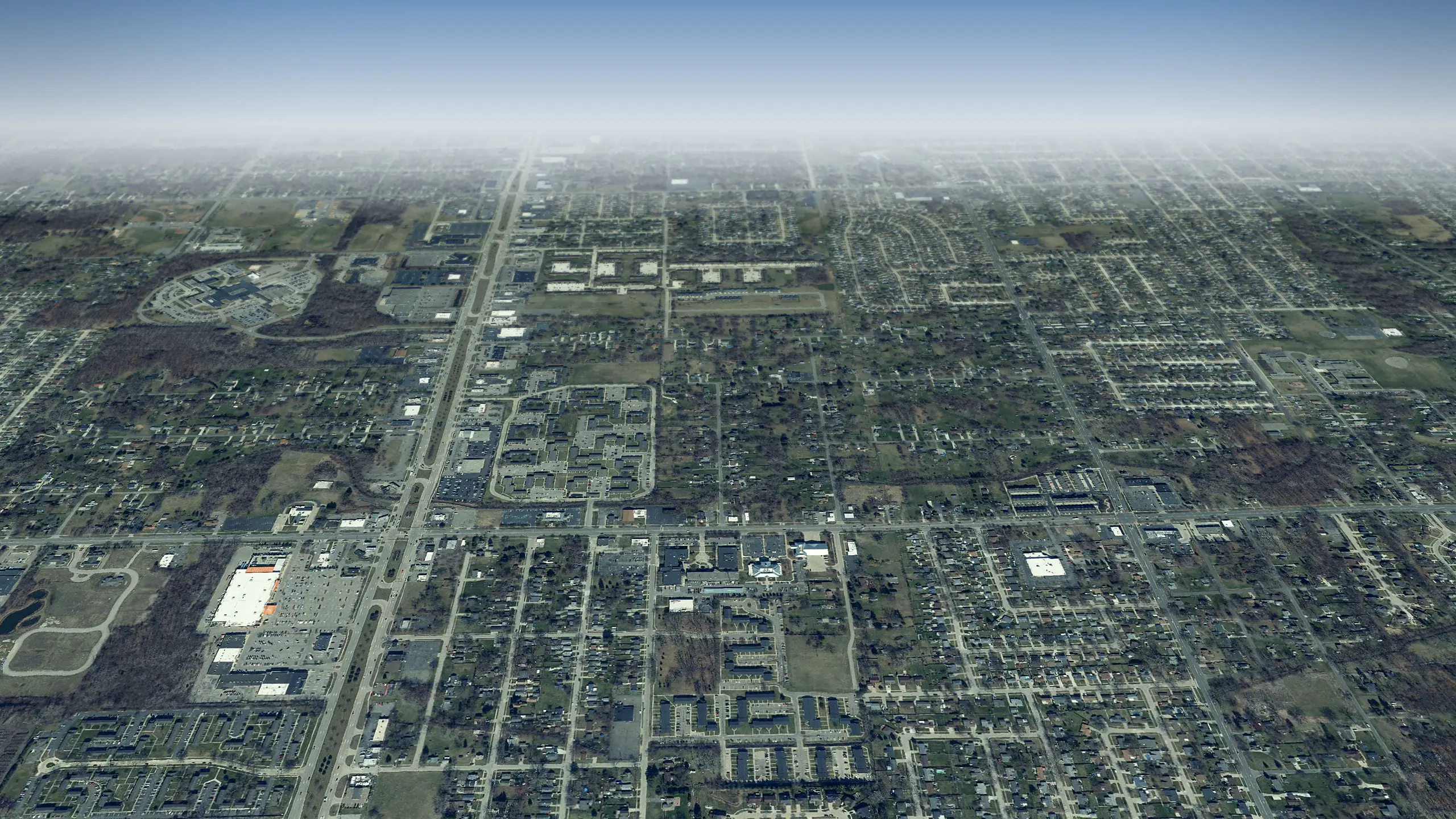 Taylor in 3D
9 miles southeast
-
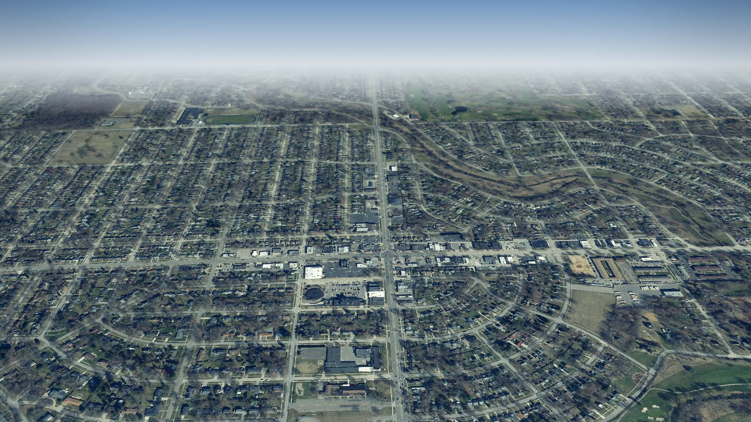 Redford in 3D
7 miles northeast
-
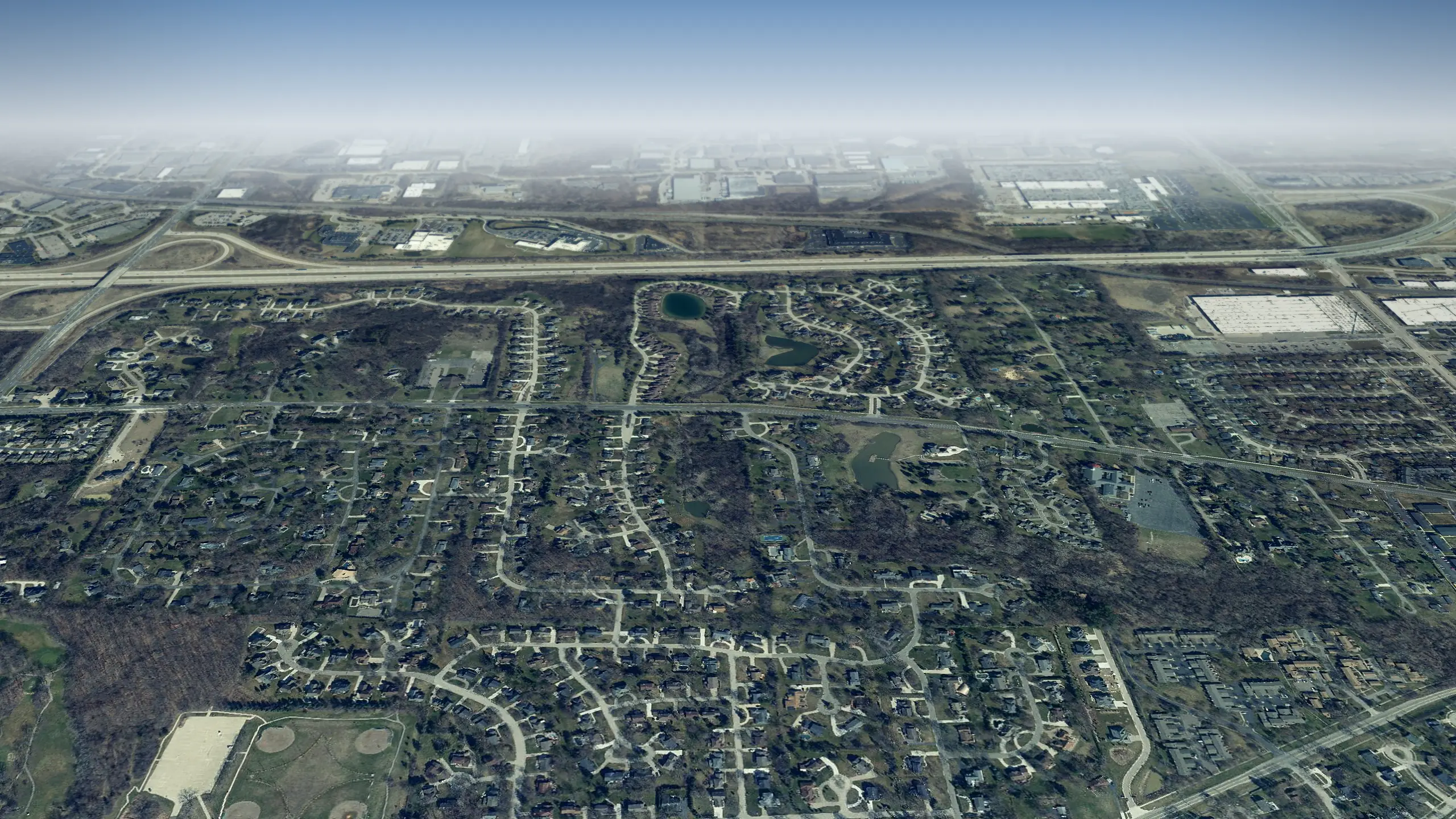 Plymouth Township in 3D
7 miles northwest
-
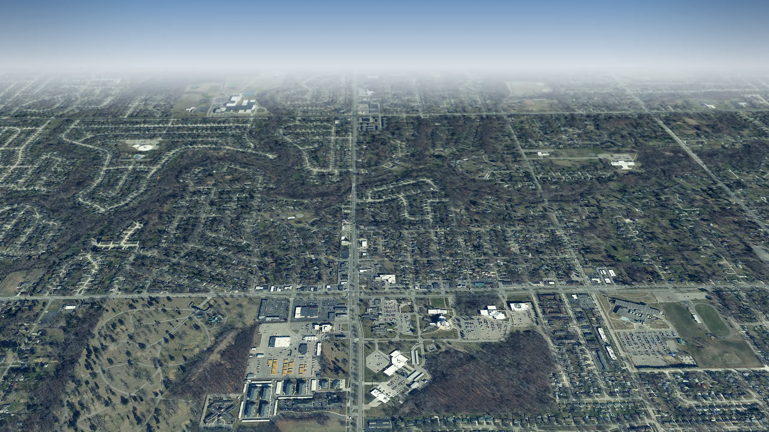 Livonia in 3D
5 miles north
-
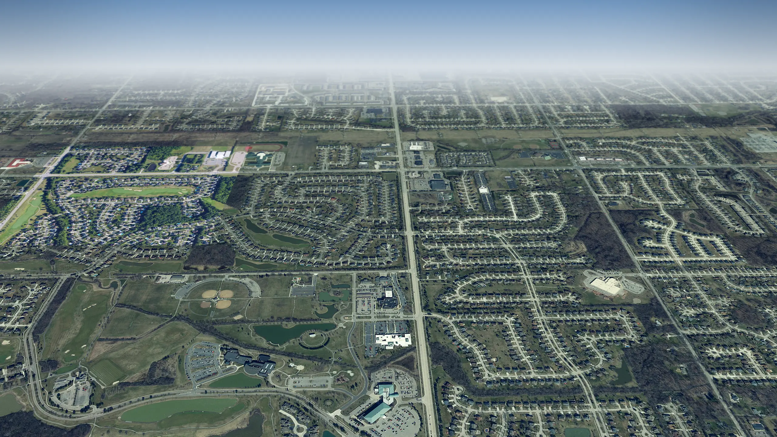 Canton in 3D
5 miles west
-
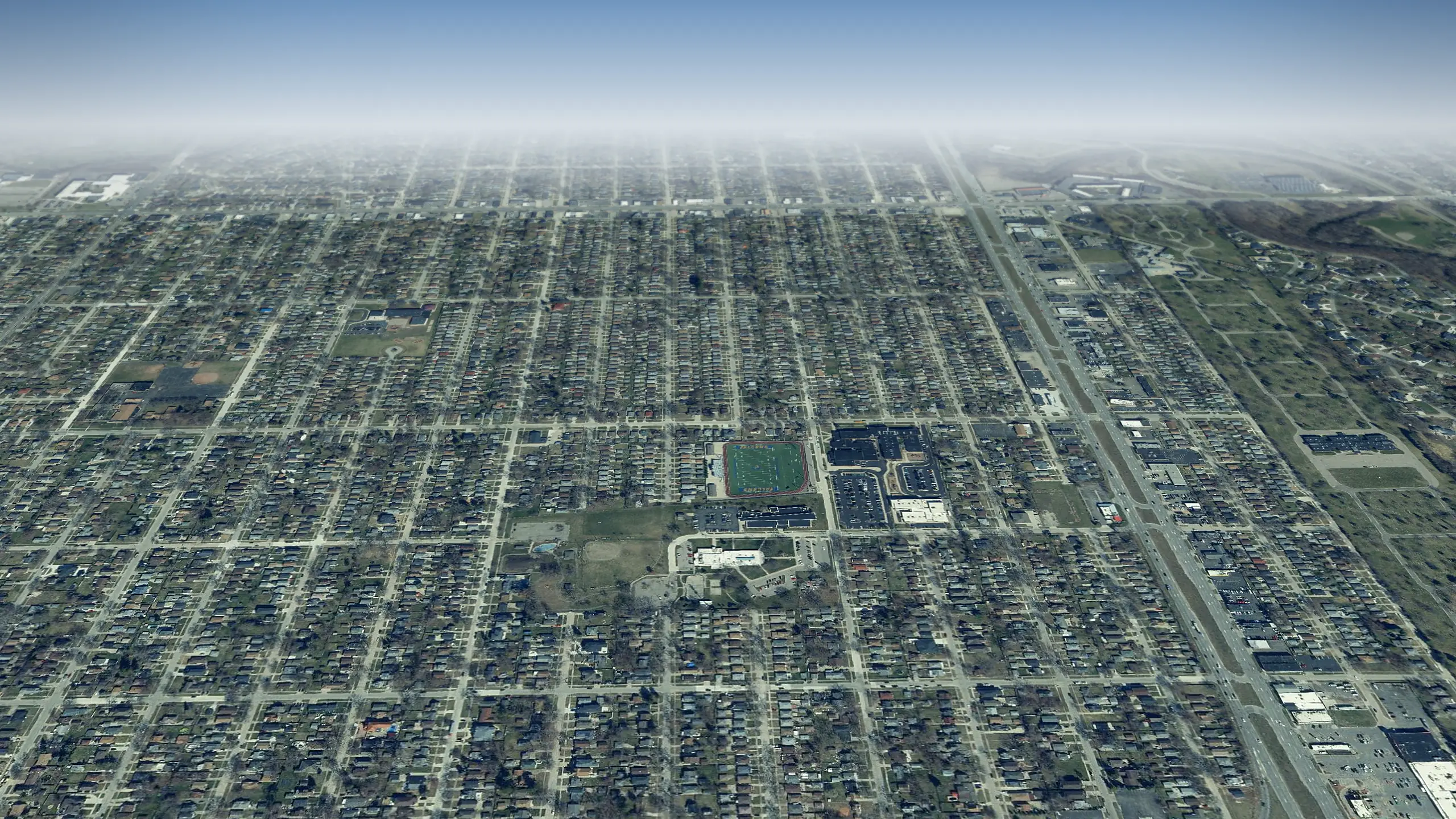 Dearborn Heights in 3D
5 miles east
Living in Westland, the city guide Run comps on a Westland home
Questions about Westland in 3D
6 questions
What can I see in Westland from above?
Where does the 3D view of Westland start?
Which tours pass through Westland?
Can I see my own street in 3D?
How current are the aerial photos of Westland?
Does it work on a phone?
Aerial photos: State of Michigan 2024 orthoimagery and USDA NAIP. Streets, buildings, parks and water: OpenStreetMap contributors and Microsoft building footprints.